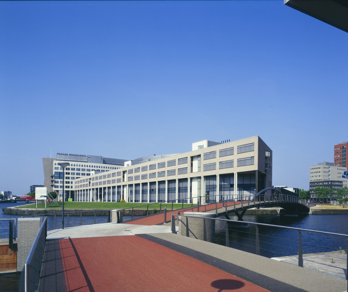
The decision to site the new premises of the Haagse Hogeschool, University of Professional Education, in the Laakhaven area directly behind Hollands Spoor railway station, was seized upon by the authorities to strip the entire area of run-down industrial development and rid it of its reputation as the rear end of The Hague. This cleared the way for an all-in restructuring of the Laakhaven area.
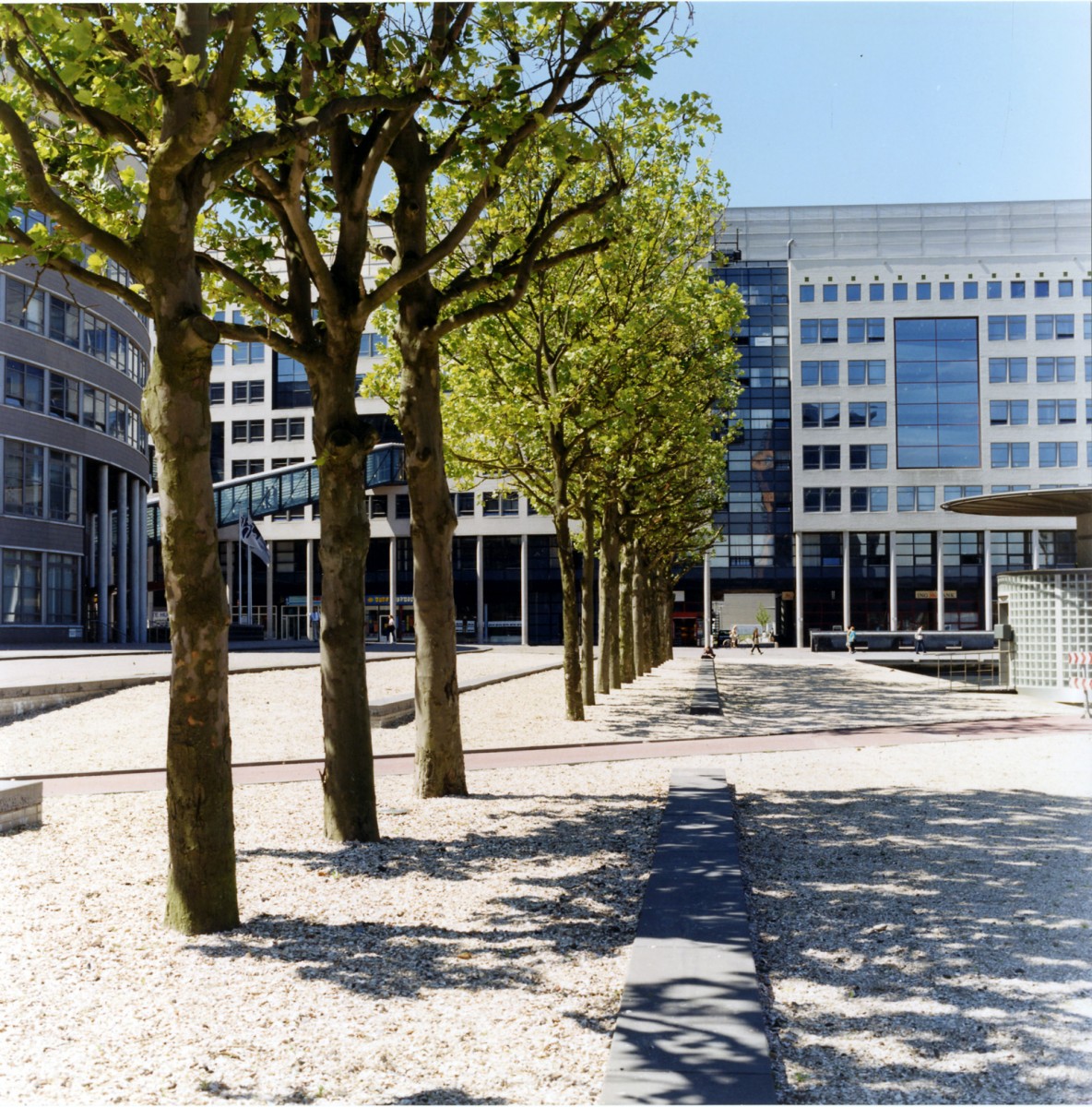
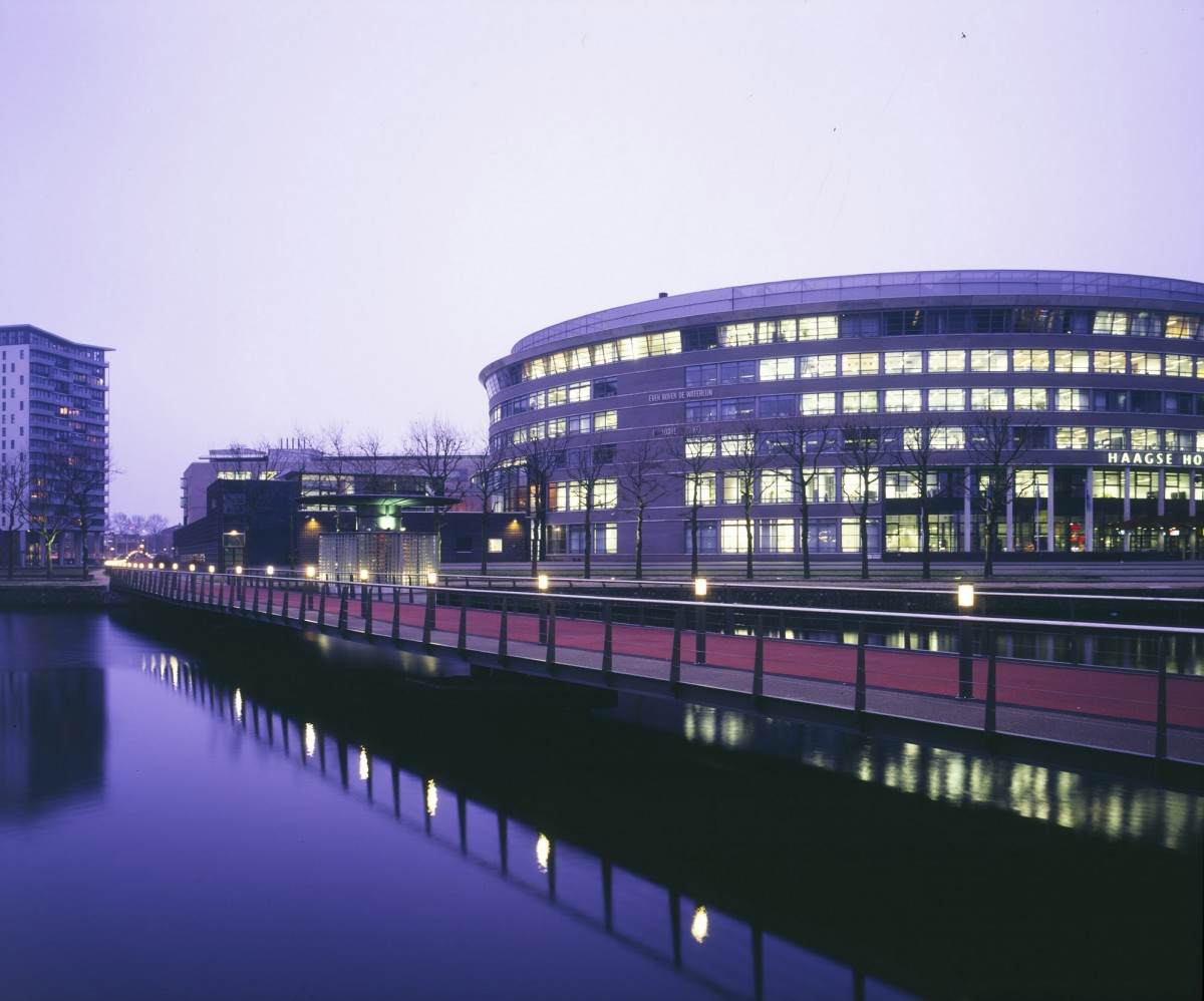
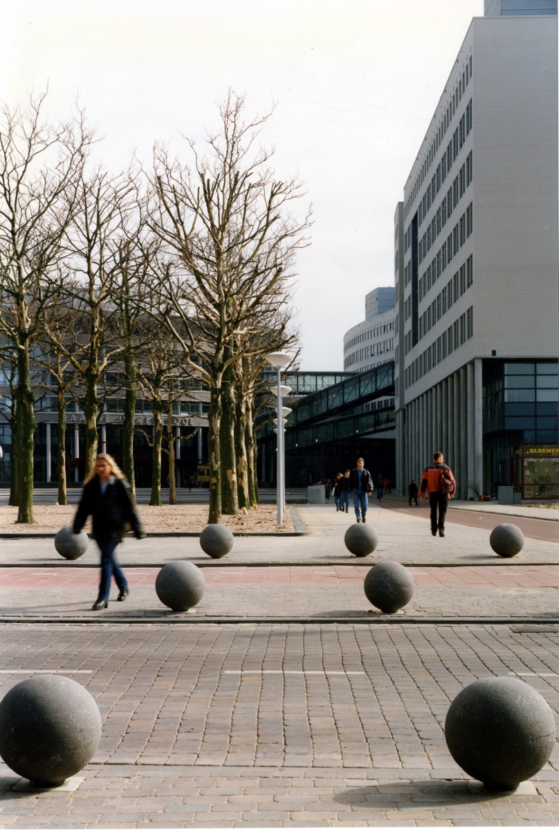
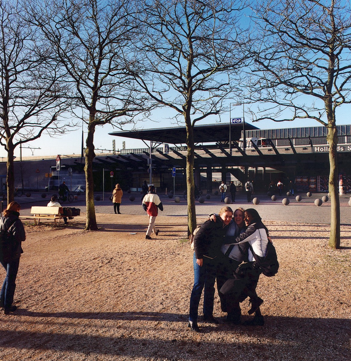
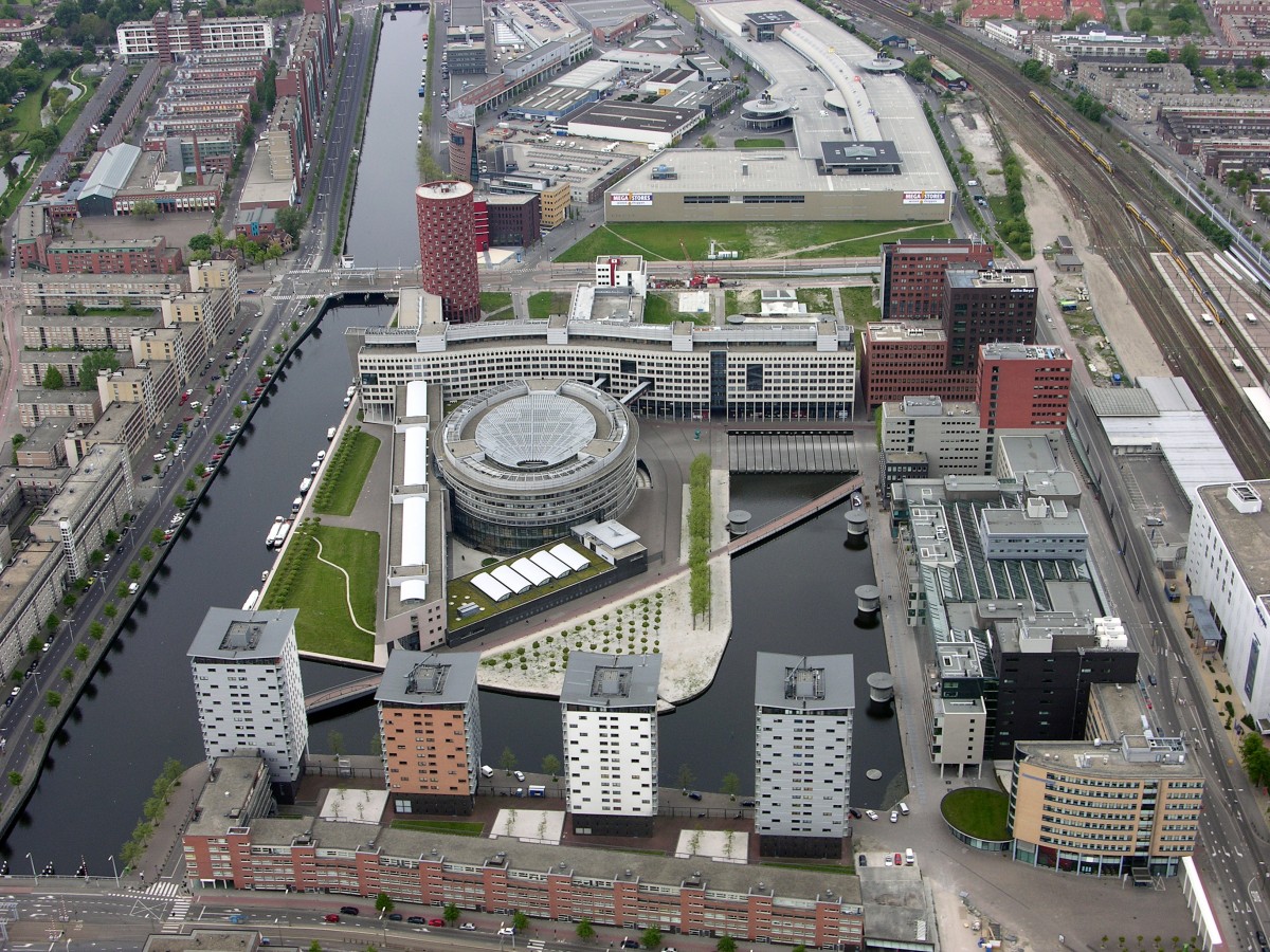
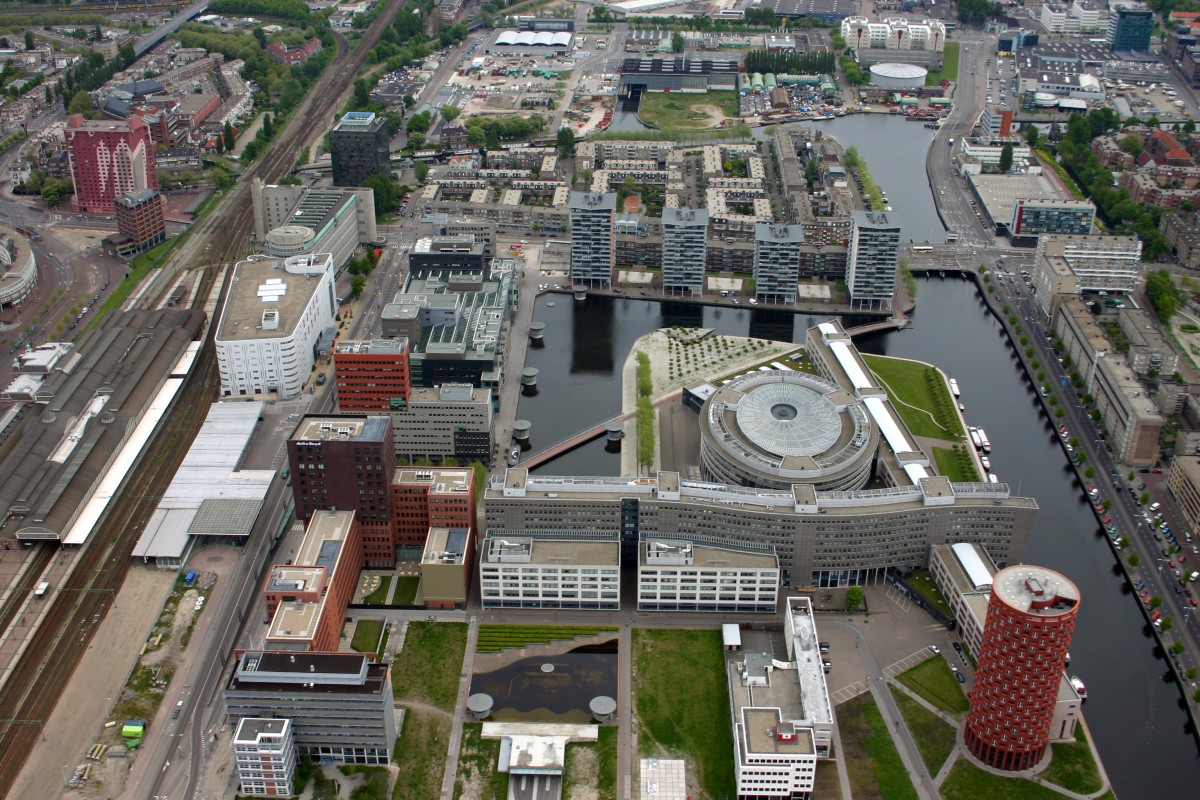
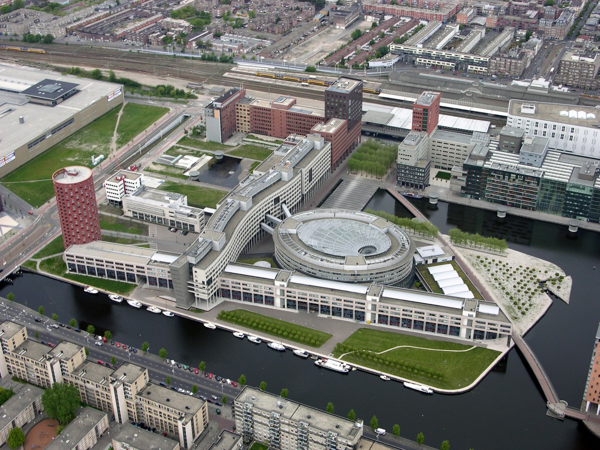
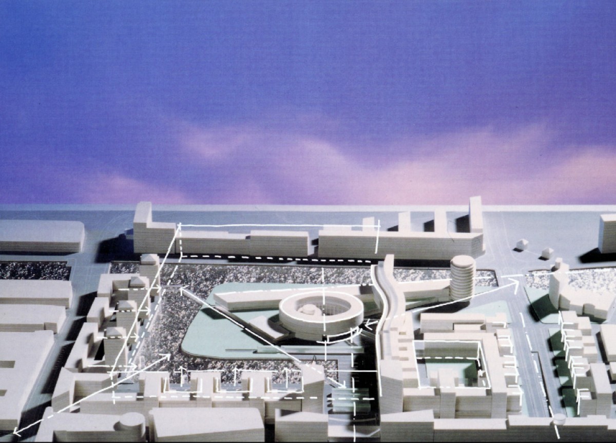
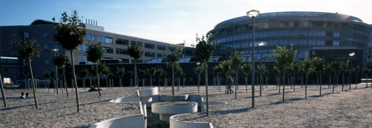
The beefy dimensions and scale of the school complex, divided as it is into four mega-volumes, correspond with that of the canal, the reduced harbour basin, the archipelago and the surrounding roads and squares with their large-scale development. From the Oval, through which everyone enters the school complex, you can access the Strip on Conradkade, the parkside Triangle and the characteristically serpentine Slinger with its tree-studded forecourt and stepping-stone zebra crossing.
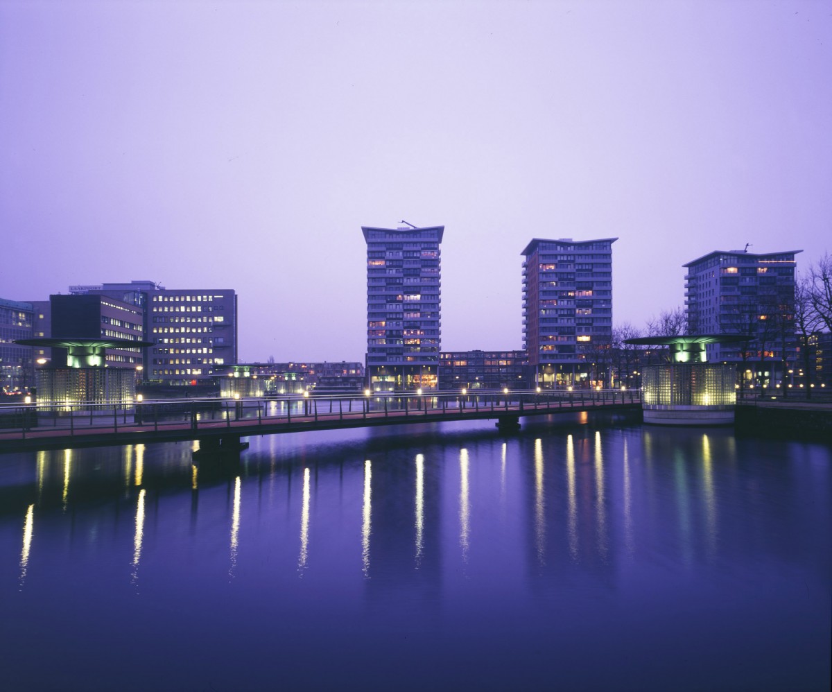
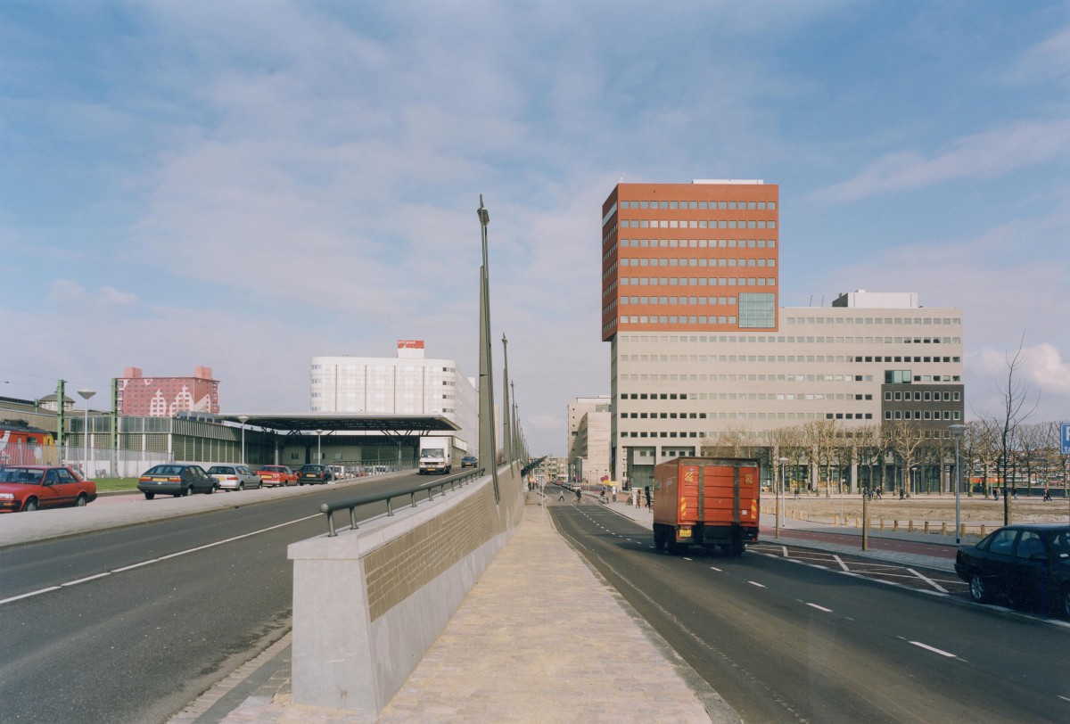
Projected between the station entrance and the main road bridge in the east (Laakhavenbrug) is a diagonal pedestrian route with two narrow bridges over Laakhaven, that joins up the extremities of the walk along Fijnjekade and Leeghwaterkade. Another diagonal route skirts the Oval to stab through the Slinger en route for the bridge in the west (Leeghwaterbrug). Chunky office buildings shape up along Waldorpstraat. Two office towers (architect Kees Christiaanse), mark the ramrod-straight pedestrian route between the station exit and the entrance to the university. To preserve the pedestrian aspect of this route, all through traffic is lifted into space at the station entrance above the heads of the pedestrians. Housing development along the quays - four tower blocks along Fijnjekade (architect Geurst & Schulze) and low-rise along Leeghwaterkade - are to complete the urban regeneration of the Laakhaven area. As planning supervisor, Hans van Beek is responsible for harmonizing the development throughout the area.
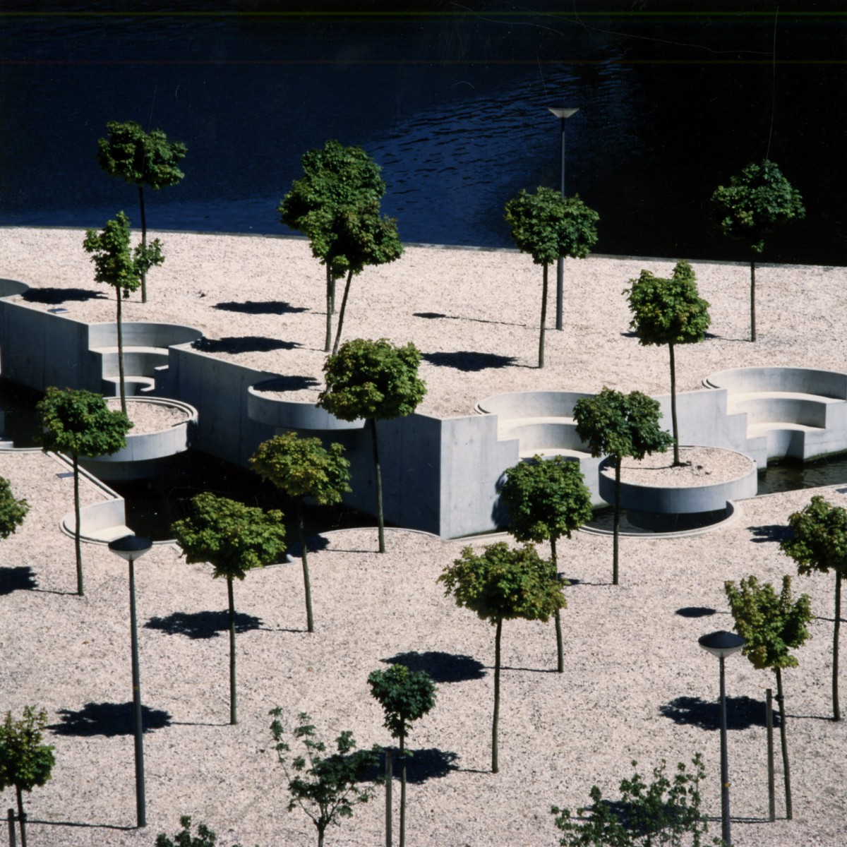
All parking places in the Laakhaven area are concentrated in a tunnel-shaped underground public parking structure (also designed by atelier PRO) set below the waters of the former harbour basin of Laakhaven. PRO are also responsible for the design of the public space, which includes a water-wall, the water-crossing and two cycle bridges.